Get Ready for Winter Weather in Western Colorado
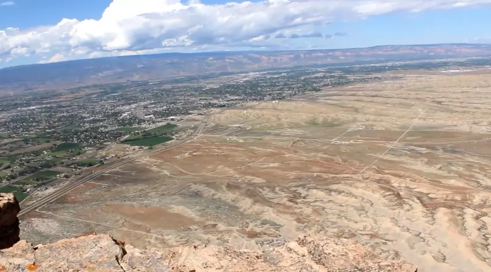
The National Weather Service says get ready for some exciting weather changes in Western Colorado and Eastern Utah this week. Are you ready for high winds and a few snowflakes?
According to the National Weather Service, a strong cold front is making its way toward Western Colorado. By late Tuesday, you can expect high winds across Eastern Utah and Western Colorado with higher elevations in Colorado experiencing winds around 60 mph.
Elevations of 10,000 feet can expect snow by Tuesday night while those at lower elevations will see rain.
Regardless of your elevation, be ready for sub-freezing temperatures by Thursday morning. Most any region in Western Colorado or Eastern Utah can expect at least a few snowflakes by Thursday morning. Those at higher elevation can expect a whole bunch of snowflakes.
All motorists should be prepared for winter driving conditions. In the event you haven't shut down your swamp cooler and disconnected the water line, this would be a good time.
More From 99.9 KEKB - Grand Junction's Favorite Country


![What’s the One Thing You Can’t Do Without in Your House? [POLL]](http://townsquare.media/site/757/files/2015/11/Home.jpg?w=980&q=75)


![Which Shop – Past or Present – Made Grand Junction’s Best Sandwich? [POLL]](http://townsquare.media/site/507/files/2015/11/GettyImages-57295970.jpg?w=980&q=75)
![Learn How to Wet Shave Like a True Barber [VIDEOS]](http://townsquare.media/site/508/files/2015/11/ThinkstockPhotos-178379693.jpg?w=980&q=75)
