Western CO to Enjoy ‘Surge of Monsoonal Weather’ This Weekend
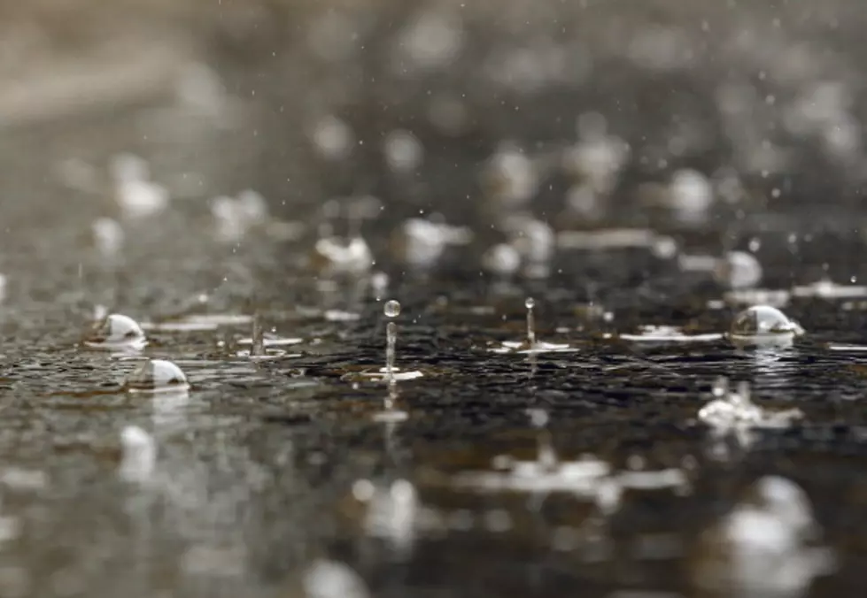
Following several brutal back-to-back weeks of high temperatures, no moisture, and winds, Western Colorado is overdue for a little rain. It appears we are going to get it.
July has been a little toasty, hasn't it? Temperatures, depending on your source, have been in the low 100's for some time. Along comes today, Friday, July 24, and it's a whopping 66 degrees with a projected high temperature of 84.
The National Weather Service says we are in store for a few days of rain. I don't know about you, but I will most certainly welcome a little rain. This does bum me out a little, though. I was hoping to get in a 5 a.m. hike up Mt. Garfield tomorrow morning. That simply cannot be done when there's any chance of rain. Not only does it get horribly muddy, but the tunnel under I-70 leading to the trailhead also fills with water, making it impassable.
Via Facebook, the US National Weather Service Grand Junction Colorado issued this statement:
A surge of monsoonal moisture will continue to spread north and east across western Colorado through the weekend. This will bring widespread showers and thunderstorms favoring southwest Colorado with locally heavy rainfall at times…especially in the higher elevations. There is some isolated potential for flash flooding near steep terrain and flood-prone locations.
Did you see the part about "some isolated potential for flash flooding nearing steep terrain"? What does a flash flood look like in this part of the world? Check out this footage of a flash flood near the Colorado National Monument.
Here's another one from along I-70 in Western Colorado.
I, for one, am going to enjoy the rain. My trees and shrubs are going to love it, too. We'll have to take advantage of the wet and cooler weather while we can since it probably won't last for long. According to the National Weather Service, we'll be back to sunny and clear with highs in the upper 90's by Wednesday.
Grand Junction's Worst Reviews on TripAdvisor


