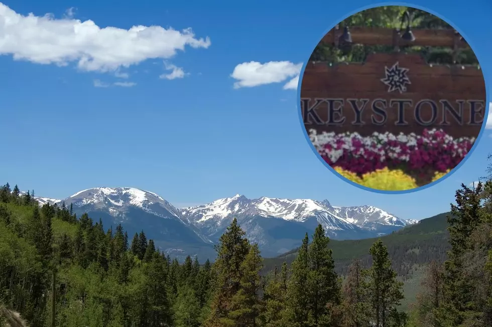
The Perfect Hiking Trails Near Keystone Colorado
The city of Keystone, Colorado is a perfect destination if you're looking for some high-altitude hikes with an incredible view.
Hiking is best during the spring and summer months but some of the trails we are going to peek at below are also great places to snowshoe and ski. Of course, Keystone Resort is close by if you are also looking for a great place to ski in the winter.

Get our free mobile app
10 Keystone Hiking Trails
The city of Keystone is located off US 6 between Silverthrone and Loveland. The town sits at about 10,800 feet. The surrounding area includes the Dillon Reservoir and several hiking trails that deserve your attention. Scroll on to learn more about 10 hikes in Keystone with maps and directions included in the photo gallery below.
Soda Ridge & Aqueduct Trails
- Trail Name: Soda Ridge & Aqueduct Trails
- Distance: 3.8 Miles
- Climb: 508 feet
- Max Elevation: 9,510 feet
Keystone Gulch
- Trail Name: Keystone Gulch
- Distance: 3.3 Miles
- Climb: 1,399 feet
- Max Elevation: 11,532 feet
Soda Creek to Horseshoe Gulch
- Trail Name: Soda Creek to Horseshoe Gulch
- Distance: 5.7 miles
- Climb: 671 feet
- Max Elevation: 9,469 feet
Soda Creek Loop
- Trail Name: Soda Creek Loop
- Distance: 3.8 miles
- Climb: 491 feet
- Max Elevation: 9,480 feet
Sapphire Point
- Trail Name: Sapphire Point
- Distance: 3,228 feet
- Climb: 28 feet
- Max Elevation: 9,523 feet
Old Tenderfoot Trail
- Trail Name: Old Tenderfoot Trail
- Distance: 1.2 miles
- Climb: 575 feet
- Max Elevation: 9,922
Oro Grande #65
- Trail Name: Oro Grande #65
- Distance: 7.1 Miles
- Climb: 774 feet
- Max Elevation: 9,395 feet/
Dillon Reservoir Loop
- Trail Name: Dillon Reservoir Loop
- Distance: Dillon Reservoir
- Climb: 177 feet
- Max Elevation: 9,220 feet
Ptarmigan Pass
- Trail Name: Ptarmigan Pass
- Distance: 2.1 Miles
- Climb: 190 feet
- Max Elevation: 11,973
Lily Pad Lake
- Trail Name: Lily Pad Lake
- Distance: 1.6 Miles
- Descent: -997 feet
- Max Elevation: 10,984 feet.
The Perfect Hiking Trails Near Keystone Colorado
High above 10,000 feet, the city of Keystone, Colorado is home to some incredible hiking trails that belong on your bucket list. Scroll on to get a closer look at the maps of some of Keystone's best hikes that include the surrounding areas of Dillon and Silverthrone.
KEEP GOING: See All of Colorado's Mountain Ranges by Name and Region
Find out more about each one of Colorado's primary mountain ranges, and learn exactly where each one is located in the state.
MORE: 12 Amazing Colorado Drives for Viewing Fall Colors in 2022
Check out 12 of the most popular fall color drives to put on your Colorado bucket list. Scroll on to learn about fall color routes in each part of the state that are perfect for enjoying the changing seasons.
More From 99.9 KEKB - Grand Junction's Favorite Country


