
Colorado Snowpack Levels Now Over 100%
Colorado's current snowpack is estimated at 115% of average.
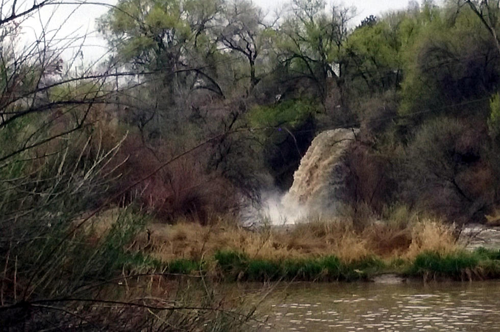
The droughts not officially over but the end is in site. The latest USDA watershed report for Colorado shows the current snowpack levels are estimated at 115% of average. That's a big improvement and a whopping 157% higher than this time last year and there's more snow on the way. Two to four additional feet are excepted in the higher elevations with the next winter storm arriving this evening and continuing into Saturday night. The good news, too, is that during a typical year the snowpack doesn't reach its peak until the middle of April.
Stream and river flow projections for this year look better than in some time, too. Except for the extreme southwestern corner of the state, flows look to at or above average. The only reason they aren't higher is the soil is still dry and expected to soak up much of the runoff once it begins to thaw.
This new report is obviously good news for the state's farmers and ranchers. It's good news for next summer's fire season. The National Weather Service predicts that this wetter weather pattern is excepted to continue well into April.
Credit: Patch
More From 99.9 KEKB - Grand Junction's Favorite Country