
Classic Colorado Chaos: Why This Week’s Unsettled Pattern is Bringing Winter Back to the I-70 Corridor
Look, I know it's April. You've mentally moved on to shorts and weekend hikes. Mother Nature didn't get that memo.
A cold front arrives Monday morning, rain hits the valleys, and snow hits the mountains. This isn't a one-day thing; we're looking at the majority of the week running near or below normal temperatures.
Put the flip-flops away.

Monday: Colorado is Gearing Up for the Setup
A moisture-loaded system is already pushing out of Northern California, pumping southwesterly winds across western Colorado.
Precipitable moisture numbers are running 150 to 200 percent of normal by Tuesday morning, meaning the atmosphere is absolutely primed and ready to unload.
Winds gust to 35 mph, but forecasters decided it wasn't quite bad enough for Wind Advisories. Breezy but survivable.
Tuesday: Don't Drive Colorado's Passes Without a Plan
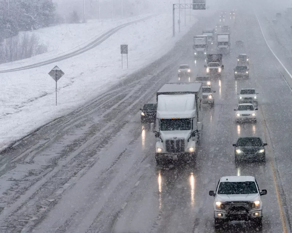
This is the day to watch. The cold front pushes through, temperatures drop 5 to 15 degrees below normal, and snow levels fall to 7,000 to 8,000 feet, right at pass level.
Valley folks get rain. Mountain passes get snow.
How much snow? Still uncertain. The high spring sun angle and warm ground temperatures will fight back hard against accumulation.
No advisories issued yet, but if you're crossing the mountains Tuesday, expect sloppy, slushy conditions and plan accordingly. Don't be the person who finds out the hard way.
Read More: Weird Colorado Landmarks: Tunnels, Castles, and Conspiracy Sites
The Rest of the Week
Wednesday and Thursday offer a brief, lukewarm reprieve before another system takes another run at us late week.
Models are showing another 5 to 15 degrees below normal cool-down.
This unsettled pattern isn't going anywhere. Classic Colorado spring. Stay tuned.
What is the weather like in Grand Junction, Colorado?
Gallery Credit: Wesley Adams
Six Crazy Colorado State Weather Records that Still Stand Today
Gallery Credit: Wesley Adams