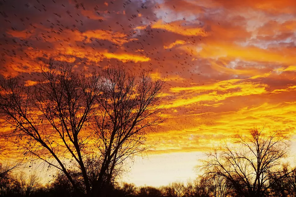

These Snyder Mesa Fire Photos Tell Colorado’s Story
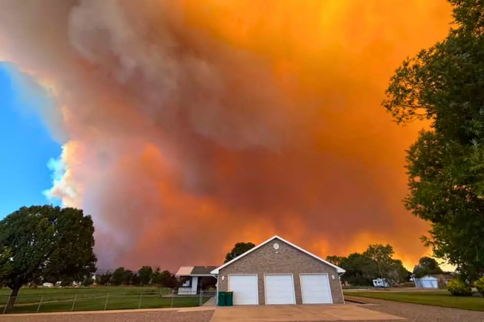
From neighborhoods across the Grand Valley to viewpoints miles from the blaze, listeners in Mack, Loma, Fruita, and Grand Junction have captured powerful moments as the Snyder Mesa Fire unfolds.
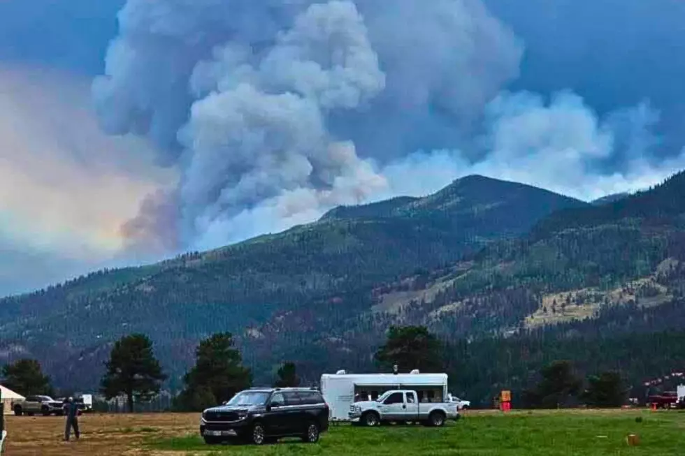
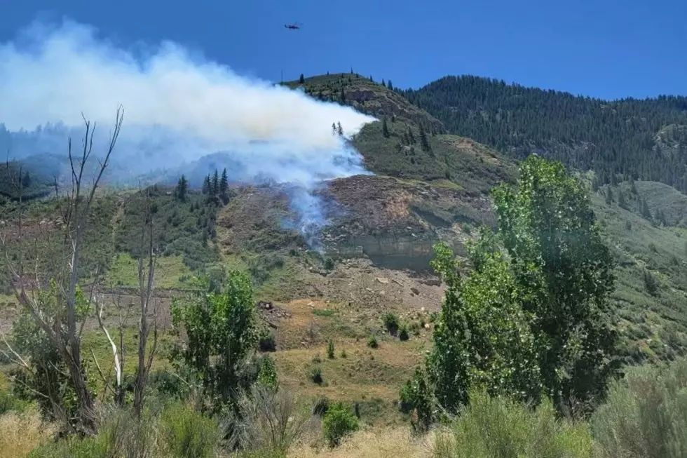
Since the fire started on June 27, the Snyder Mesa incident has grown to 30,202 acres and is now 98% contained. Evacuations have been lifted. Closures along the Colorado River have been lifted, and the fire has been returned to local command from the Rocky Mountain Complex Incident Management Team.
Look: See Stunning Photos of Colorado's Snyder Mesa Fire
Gallery Credit: Wesley Adams

Where Is the Snyder Mesa Fire Burning?
Read More: What Colorado's Fire Restriction Stages Really Mean
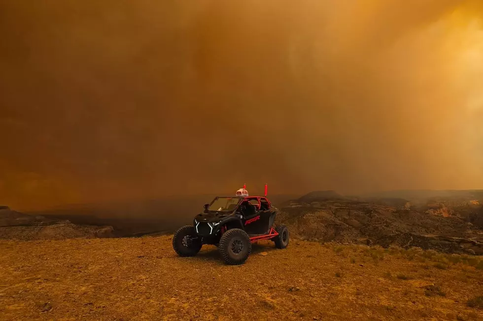
Mesa County’s Snyder Mesa Fire crossed into Colorado from Utah on Saturday, June 27. Early on, the fire burned portions of Snyder Mesa, Jones Canyon, and parts of the McInnis Canyons National Conservation Area. The fire has moved east and northeast, but strong winds have been able to push it in multiple directions.
At the end of the day on June 30, the Snyder Mesa fire was close to 32,000 acres with 10% containment. Nearly 500 personnel are assigned to the incident, using helicopters, large air tankers, single-engine air tankers, and other aircraft to battle the blaze.
Travel Impacts Across Western Mesa County
Drivers in Mesa County should expect restrictions near the Utah border as firefighting operations continue. Current closures include:
- A 2/10 Road at DS Road (closed to through traffic)
- BS Road near the BLM boundary (closed west toward the Utah border)
- Public access to the McInnis Canyons National Conservation Area and nearby BLM lands is closed until further notice.
Drivers should avoid the area and expect firefighting equipment on nearby roads.
Where Can Residents Find Official Updates?
Read More: Grand Junction Could See Smoke from These Colorado Fires
Because conditions can change by the hour, check with official sources for the latest information. The Mesa County Sheriff's Office provides evacuation notices and road closures, while the Bureau of Land Management posts public land closures. Additional updates are available from the Colorado Division of Fire Prevention and Control, the Colorado Department of Transportation (COtrip), and the Watch Duty app for near-real-time fire maps and alerts.
NEXT: Colorado Wildfire Damage by Year, Number of Fires + Acres Burned
Gallery Credit: Tim Gray
More: It's Easy To See Why Colorado Loves the Maroon Bells
Gallery Credit: Wesley Adams
More From 99.9 KEKB - Grand Junction's Favorite Country