
Western Colorado Mudslides Impacting Travel: What You Need To Know
Extreme drought, wildfires, burn scars, and monsoon rains. These conditions can make late-summer travel in Western Colorado downright dangerous.
In just a couple of weeks, heavy downpours have triggered mudslides on the Western Slope that closed roads from the Curecanti National Recreation Area to I-70 in Silt and the Red Mountain Pass on US 550. Keep scrolling for a closer look at four incidents impacting Western Colorado roads this July.

Curecanti National Recreation Area East Portal Road
Read More: Colorado's Wildfire Burn Scars May Face Flash Flood Danger
Thunderstorms on July 16, 2026, caused three major mudslides on the East Portal Road within the Curecanti National Recreation Area. According to National Park Service officials, the slides buried portions of the road under six feet of mud, boulders, and rocks, while also impacting most of the East Portal Campground and picnic area. These sites remain closed to all vehicles, pedestrians, and bicyclists while crews assess the damage and begin to make repairs. Officials have not announced a reopening timeline.
Highway 145 Outside of Telluride
Monsoon rains on July 18, 2026, triggered over a dozen mudslides along Colorado Highway 145 between Sawpit and Telluride. These floods brought large boulders, downed trees, mud, and debris to the highway, closing the road while crews cleared the debris. Highway 145 has since reopened, but weather conditions could cause additional debris flows if heavy storms return.
I-70 between Silt and New Castle
Storms brought Flash Flooding to Garfield County around 7 p.m. on July 20, 2026, and a large debris flow to I-70 between Silt and New Castle. Over 300 yards of mud, rocks, logs, and flood debris reaching seven feet deep, stopped traffic for a couple of days. Lanes reopened on July 23, then closed the following day due to flash flooding. As cleanup continues, expect delays along the corridor.
U.S. 550 Red Mountain Pass
Read More: The 1976 Big Thompson Flood in Colorado
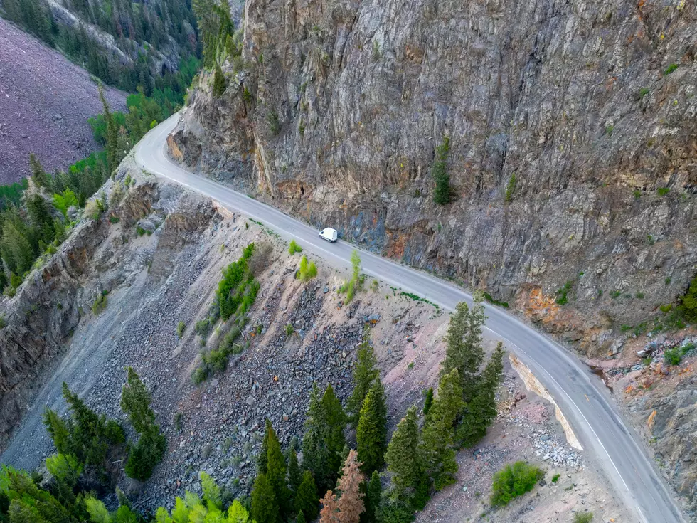
Heavy rainfall on July 24, 2026, triggered a mudslide on the Silverton side of Red Mountain Pass (U.S. 550), covering parts of the highway with mud, rocks, and debris. The slide forced a temporary closure between Ouray and Silverton. The highway has reopened, but as CDOT cleanup operations continue near Chattanooga Curve, alternating traffic and delays of 15 to 30 minutes should be expected during daytime work.
LOOK: Six Crazy Colorado State Weather Records that Still Stand Today
Gallery Credit: Wesley Adams
MORE: 10 Places in Colorado to Watch Your Step for Rattlesnakes
Gallery Credit: Wesley Adams
UP NEXT: It's Easy To See Why Colorado Loves the Maroon Bells
Gallery Credit: Wesley Adams
More From 99.9 KEKB - Grand Junction's Favorite Country