Colorado’s Gold Mountain Fire Grows as New Evacuations Begin
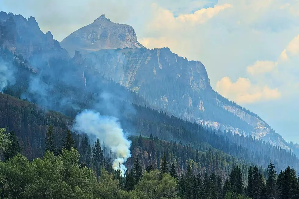
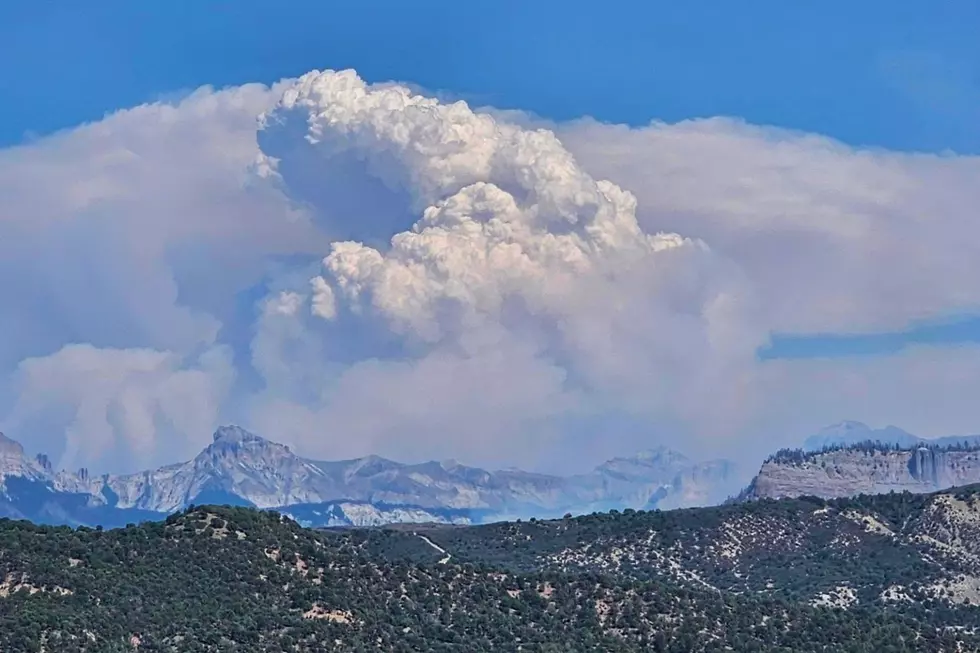
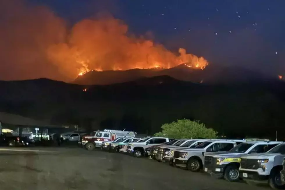
Residents in Gunnison and Montrose counties have kept a close eye on the Gold Mountain Fire, and for good reason. As the fire spreads north, mandatory and voluntary evacuation orders are spreading too.
The fire has burned more than 31,400 acres and was 2% contained at the end of the day Monday. More than 820 firefighters and support personnel are on the ground protecting homes, critical infrastructure, and communities around Ouray, Ridgway, and the Cimarron Valley. Here’s what we know today.
[branddapppromo]
New Mandatory Evacuation Orders Issued Monday
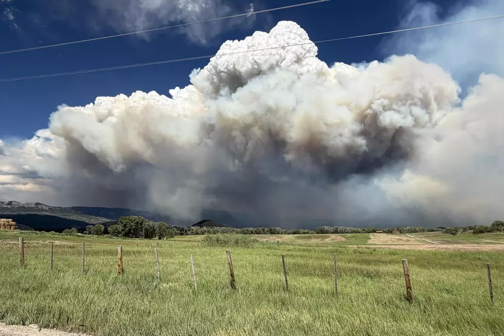
Read More: What Colorado's Fire Restriction Stages Really Mean
Our listeners got the news on Monday that the Gold Mountain Fire is expected to push further to the north and northeast this week. Both Gunnison and Montrose counties continue to prepare, as a mandatory evacuation has been issued for Zone 32. This zone is just south of Storm King and covers both sides of the Cimmaron Ridge, extending east to Co Rd 864A. This area includes Bear Claw, Silver Jack, Eagle's Rest, and Little Bighorn subdivisions. Zone 33 and Zone 34 are under a voluntary (pre-evacuation) order. Find a map of Western Colorado’s evacuation zones here.
Road Closures Between Montrose and Ouray May Change Quickly
If you need to drive between Montrose and Ouray this week, be prepared to encounter detours. If they need lots of fire equipment along the highway, expect U.S. 550 to close. If it does, county road detours can still take you around the area (County Road 10, County Road 24, County Road 17, and U.S. 62). Do not follow GPS onto gravel roads or mountain passes. It’s a good idea to check with CDOT at COTrip.org before you start.
Ridgway Reservoir May Close When Water-Scooping Aircraft Are Flying
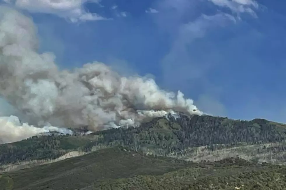
Read More: Colorado Red Rock Fire West of De Beque: Latest Update
Trying to put out large wildfires means everyone is making sacrifices. Visitors at Ridgway State Park and Ridgway Reservoir may arrive to find the water closed to boating. When “super scooper” aircraft are in the area collecting water to battle the fire, the reservoir will be closed to boats and recreation. If the plans are elsewhere, fighting fires, the reservoir may reopen. Check the latest status by contacting Ridgway State Park at (970) 626-5822.
LOOK: See Photos of the Gold Mountain Fire Near Ouray, Colorado
Gallery Credit: Wesley Adams
MORE: See Stunning Photos of Colorado's Snyder Mesa Fire
Gallery Credit: Wesley Adams
NEXT: Colorado Wildfire Damage by Year, Number of Fires + Acres Burned
Gallery Credit: Tim Gray
More From 99.9 KEKB - Grand Junction's Favorite Country