
See for 100 Miles On Top of Colorado’s Crag Crest National Recreation Trail
You'll feel like touching the sky at over 11,000 feet if you can brave the incredible Crag Crest National Recreation Trail near Grand Junction, Colorado. This fantastic 10+ mile loop is a big investment with a huge payoff that most hikers will absolutely love.
Today we will walk the entire Crag Crest Recreation Trail that was designed by John McGuire of the US Forest Service on March 14, 1978.

How Long Does it Take to Hike the Crag Crest National Recreation Trail?
Like any trail, it's up to you. There are a couple of different jumping-off points, but climbing up the Crag is kind of designed to be a trip from one end of the rock formation to the other. It's a little over two hours to cross over the Crag, and another couple of hours to hike back on the lower loop. Somehow a lady and her dog lapped me on her way to complete the loop twice in one day. Amazing!
What is the Elevation of the Crag Crest National Recreation Trail?
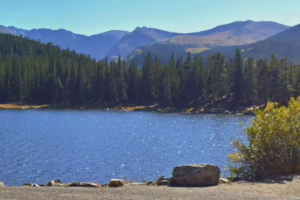
The Crag Crest hike begins at around 10,150 feet near Eggleston Lake and reaches a height of nearly 11,200 feet at the crest itself. Air can get a little thin crossing the top. Take a break before crossing the crest. At the lower elevations, the trail passes through stands of Englemann spruce, subalpine fir, and several meadows filled with hundreds of fallen trees.
Three Things To Do Before You Go
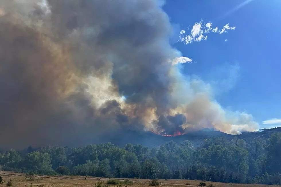
Check the weather and do not cross the crest if conditions are rainy or windy. Pack water, snacks, and a way to charge your nav device if you have one. Plan a route before you go. The hike is long and demanding, and the trail can feel like it is never-ending at times on the way back.
My iPhone recorded 13.1 miles from start to finish and that is a long way for anybody. Going up to the top, crossing the crest, then turning around and walking back across the top is a great option if you don't want to complete the loop. See the entire hike in the photos below.
See for 100 Miles On Top of Colorado's Crag Crest National Recreation Trail
Gallery Credit: Wes Adams
KEEP GOING: The Grand Mesa's Trail to Lost Lake
Gallery Credit: Wes Adams
MORE: Hike the Amazing 1100 Foot Climb to Grand Junction's Liberty Cap
Gallery Credit: Wes Adams
More From 99.9 KEKB - Grand Junction's Favorite Country